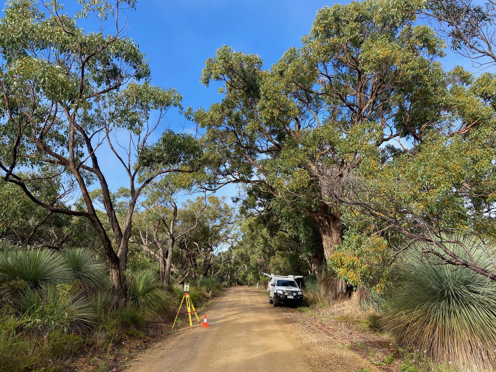
JG SURVEYS is a family owned and operated business, based in Port Willunga on the Fleurieu Peninsula, South Australia. We service all of the metropolitan, regional and remote areas of SA.
Joel Gluis, Director & Licensed Surveyor (Bachelor of Geoinformatics & Surveying), has a wide range of experience both within SA and across Australia, and specialises in land division, property boundary identification, easements and detail, levels and contour surveys.

At JG SURVEYS we provide a high quality, professional and reliable service to meet the expectations of our clients.
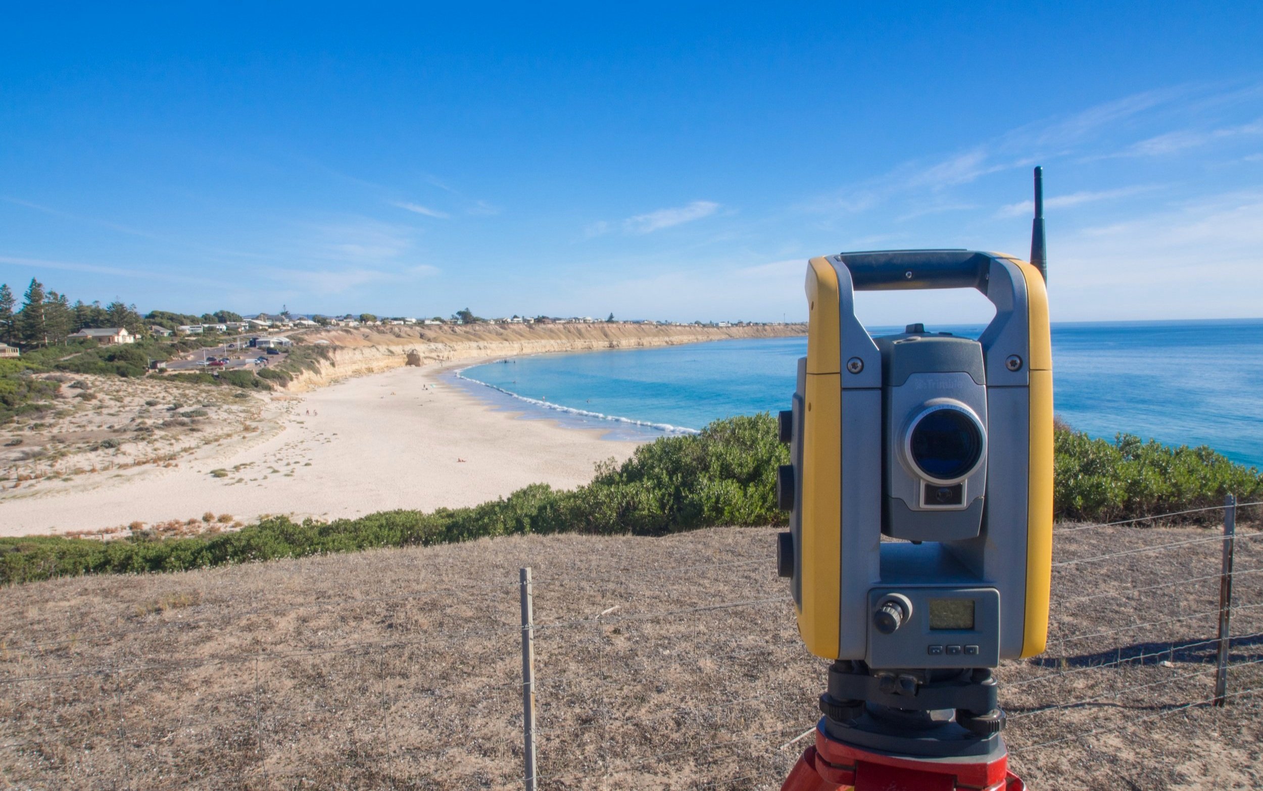
Utilising the latest technology we can assist you with your surveying and land development requirements..
Our Services
-

BOUNDARY IDENTIFICATION
JG SURVEYS can accurately identify and mark your property boundaries providing you with peace of mind for your project.
Whether you are constructing a new fence, building a new structure on or adjacent to a property boundary, or needing to resolve the position of a boundary between neighbours.
Through undertaking a Boundary Identification Survey of your property you can avoid potential costly legal ramifications by knowing where your property boundaries are.
You can trust when engaging JG SURVEYS that your Boundary Identification Survey will be carried out by an experienced Licensed Surveyor.
-

LAND DIVISION
Subdividing your property can help realise the full potential of your property. By dividing an existing property into two or more, you can reveal the hidden value of your investment.
JG SURVEYS can guide you through the land division process from the initial planning, researching development plans and zoning regulations, through to the final stages of lodging survey plans with the Land Titles Office.
JG SURVEYS will advise of the government fees and charges that are associated with land division and liaise with the relevant agencies on your behalf.
-

TOPOGRAPHIC & DETAIL SURVEYS
Detail & Levels Surveys measure and record levels and features across the project site. Site features may include buildings, retaining walls, trees and utility service infrastructure.
Contours and topographic information produced for the final product are derived from the levels measured on site.
The final drawings created from a Detail & Levels Survey can be used by building designers, architects and engineers as the foundation of a project.
Get in touch with us
For further information, or a free no obligations quote, please don't hesitate to contact us: